The Wrong Way Bridge (Vermont)
November 9, 2025
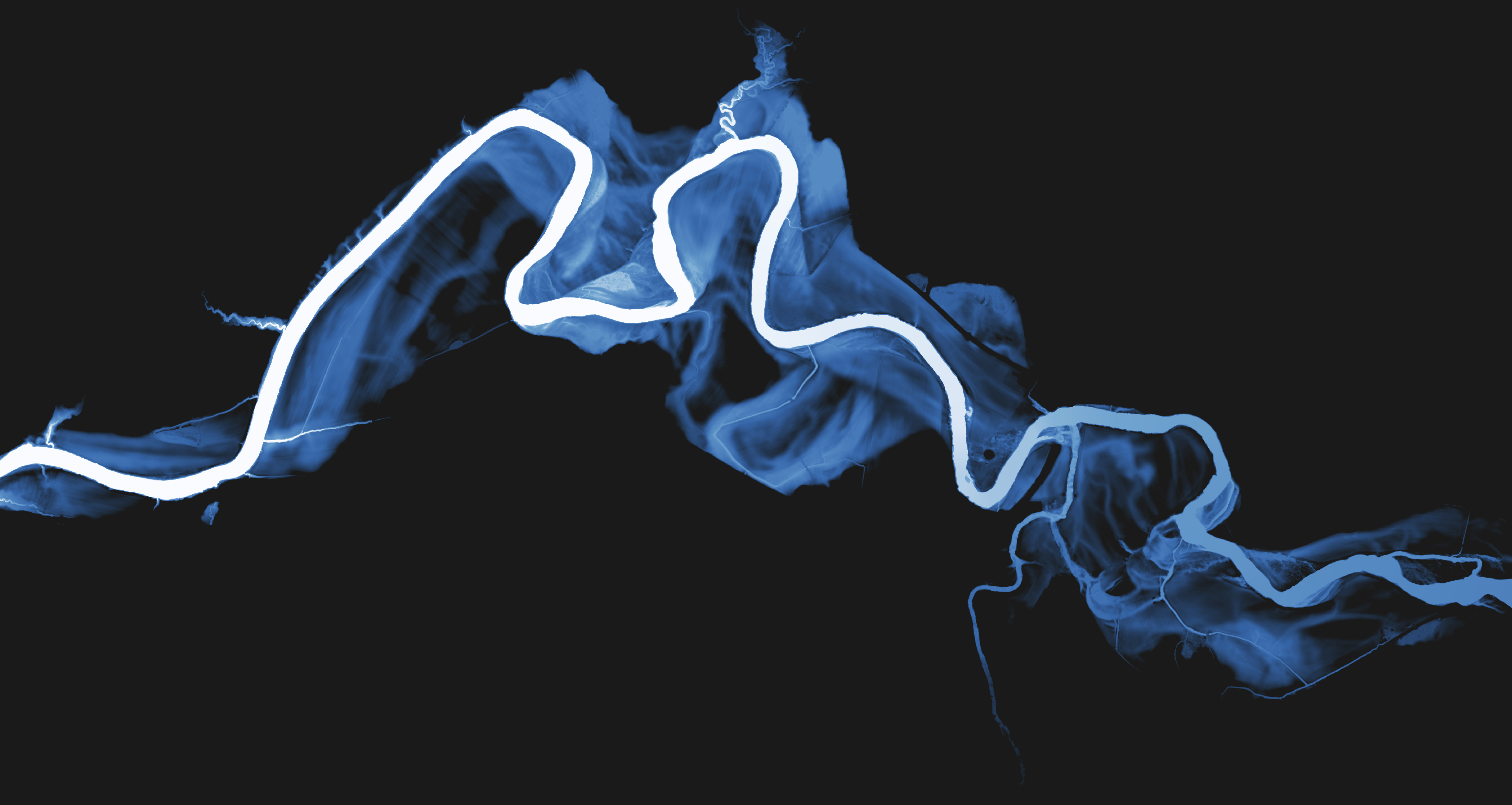
Day 7 of #30DayMapChallenge focused on accessibility. I mapped the “Wrong Way Bridge” near where I grew up in Vermont, a crossing that always felt off because the road bends away from the river before it meets the span.
Locals had theories: bad surveying, a shortcut to St. Albans, or just bad design. The real story is stranger: the bridge was built in 1950 to start a Route 15 extension that would have followed a railway line along the south bank of the Lamoille River. The valley kept flooding and the plan died, leaving a bridge pointed at a road that never came.
What the LiDAR shows
- The bend is not arbitrary. The embankment tracks the planned alignment toward the rail corridor.
- Old flood paths carve into the valley floor; you can see abandoned traces that would have been underwater in high water.
- The current approach road swings awkwardly to meet the orphaned span, a quiet accessibility failure every winter when drivers skid off course.
It’s a small piece of infrastructure that tells the story of a project halted by the landscape itself, leaving geometry that confuses drivers decades later.